
Thank you for supporting this site ❤️
Make a donation
Make a donation
Cloughjordan topographic map
Click on the map to display elevation.
Thank you for supporting this site ❤️
Make a donation
Make a donation
About this map
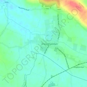
Name: Cloughjordan topographic map, elevation, terrain.
Location: Cloughjordan, County Tipperary, Munster, Ireland (52.93557 -8.04566 52.94651 -8.02418)
Average elevation: 94 m
Minimum elevation: 80 m
Maximum elevation: 137 m
Thank you for supporting this site ❤️
Make a donation
Make a donation