
马村区 topographic map
Interactive map
Click on the map to display elevation.
About this map
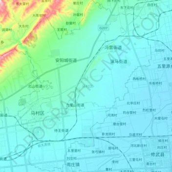
Name: 马村区 topographic map, elevation, terrain.
Location: 马村区, 焦作市, Henán, 454000, China (35.21385 113.29313 35.35907 113.44322)
Average elevation: 133 m
Minimum elevation: 80 m
Maximum elevation: 534 m
Other topographic maps
Click on a map to view its topography, its elevation and its terrain.