
Thank you for supporting this site ❤️
Make a donation
Make a donation
Westland topographic map
Click on the map to display elevation.
Thank you for supporting this site ❤️
Make a donation
Make a donation
About this map
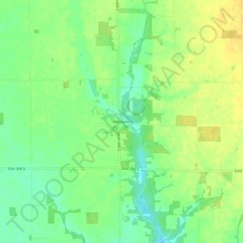
Name: Westland topographic map, elevation, terrain.
Location: Westland, Hancock County, Indiana, United States (39.73032 -85.70775 39.77032 -85.66775)
Average elevation: 278 m
Minimum elevation: 265 m
Maximum elevation: 289 m
Thank you for supporting this site ❤️
Make a donation
Make a donation
Other topographic maps
Click on a map to view its topography, its elevation and its terrain.