

Descanso topographic map
Click on the map to display elevation.
Descanso
Descanso is located east of Alpine and west of Pine Valley. At a 3,450 feet (1,050 m) elevation, it is located at the south entrance to Cuyamaca Rancho State Park and also borders Cleveland National Forest to the west and east.
About this map
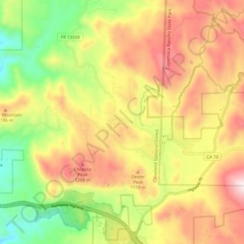
Name: Descanso topographic map, elevation, terrain.
Average elevation: 1,067 m
Minimum elevation: 692 m
Maximum elevation: 1,440 m