
Thank you for supporting this site ❤️
Make a donation
Make a donation
Salesville topographic map
Click on the map to display elevation.
Thank you for supporting this site ❤️
Make a donation
Make a donation
About this map
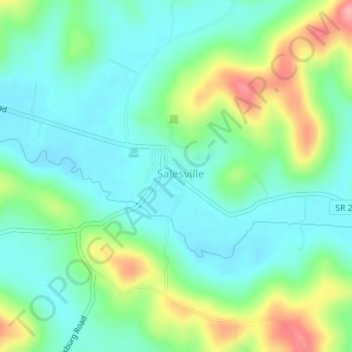
Name: Salesville topographic map, elevation, terrain.
Location: Salesville, Guernsey County, Ohio, United States (39.97044 -81.34041 39.97601 -81.33320)
Average elevation: 289 m
Minimum elevation: 253 m
Maximum elevation: 374 m
Thank you for supporting this site ❤️
Make a donation
Make a donation
Other topographic maps
Click on a map to view its topography, its elevation and its terrain.