
Thank you for supporting this site ❤️
Make a donation
Make a donation
Alto Celendín topographic map
Click on the map to display elevation.
Thank you for supporting this site ❤️
Make a donation
Make a donation
About this map
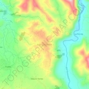
Name: Alto Celendín topographic map, elevation, terrain.
Location: Alto Celendín, Pangoa, Satipo, Junín, Perú (-11.44232 -74.47444 -11.40232 -74.43444)
Average elevation: 771 m
Minimum elevation: 635 m
Maximum elevation: 971 m
Thank you for supporting this site ❤️
Make a donation
Make a donation