
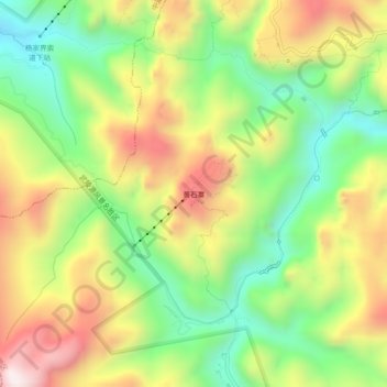
黄石寨 topographic map
Interactive map
Click on the map to display elevation.
About this map
Name: 黄石寨 topographic map, elevation, terrain.
Location: 黄石寨, 锣鼓塔街道, 武陵源区, Zhangjiajie, Hunan, China (29.31274 110.40563 29.35274 110.44563)
Average elevation: 808 m
Minimum elevation: 482 m
Maximum elevation: 1,212 m