
Aurora topographic map
Interactive map
Click on the map to display elevation.
About this map
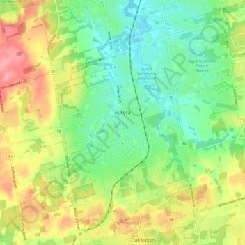
Name: Aurora topographic map, elevation, terrain.
Location: Aurora, York Region, Golden Horseshoe, Ontario, Canada (43.95747 -79.49936 44.03547 -79.39288)
Average elevation: 291 m
Minimum elevation: 242 m
Maximum elevation: 366 m
Other topographic maps
Click on a map to view its topography, its elevation and its terrain.