
Thank you for supporting this site ❤️
Make a donation
Make a donation
Castel de Ceveri topographic map
Click on the map to display elevation.
Thank you for supporting this site ❤️
Make a donation
Make a donation
About this map
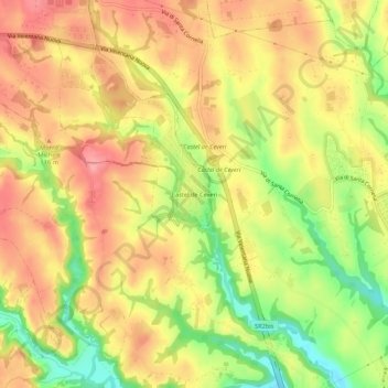
Name: Castel de Ceveri topographic map, elevation, terrain.
Location: Castel de Ceveri, Formello, Roma, Lazio, Italia (42.00834 12.40678 42.04834 12.44678)
Average elevation: 92 m
Minimum elevation: 32 m
Maximum elevation: 133 m
Thank you for supporting this site ❤️
Make a donation
Make a donation