
Thank you for supporting this site ❤️
Make a donation
Make a donation
Köselerli topographic map
Click on the map to display elevation.
Thank you for supporting this site ❤️
Make a donation
Make a donation
About this map
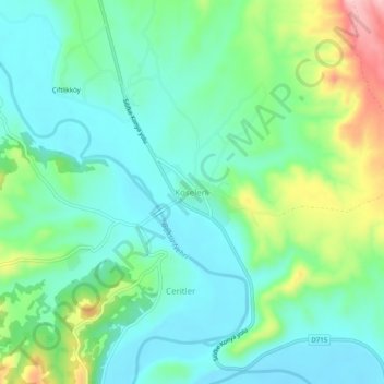
Name: Köselerli topographic map, elevation, terrain.
Location: Köselerli, Mut, Mersin, Mediterranean Region, Turkey (36.53254 33.43160 36.57254 33.47160)
Average elevation: 146 m
Minimum elevation: 94 m
Maximum elevation: 282 m
Thank you for supporting this site ❤️
Make a donation
Make a donation