
Thank you for supporting this site ❤️
Make a donation
Make a donation
Nikumaroro topographic map
Click on the map to display elevation.
Thank you for supporting this site ❤️
Make a donation
Make a donation
About this map
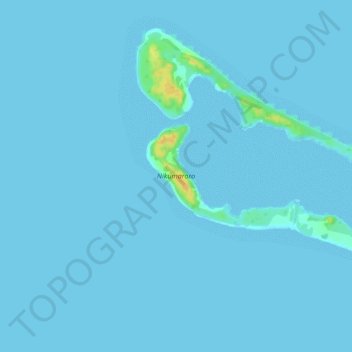
Name: Nikumaroro topographic map, elevation, terrain.
Location: Nikumaroro, Phoenix Islands, Kiribati (-4.69690 -174.54311 -4.65438 -174.49236)
Average elevation: 1 m
Minimum elevation: 0 m
Maximum elevation: 25 m
Thank you for supporting this site ❤️
Make a donation
Make a donation
Other topographic maps
Click on a map to view its topography, its elevation and its terrain.