
Thank you for supporting this site ❤️
Make a donation
Make a donation
Sota topographic map
Click on the map to display elevation.
Thank you for supporting this site ❤️
Make a donation
Make a donation
About this map
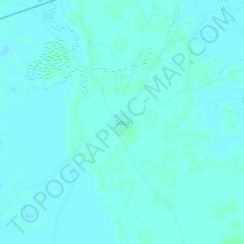
Name: Sota topographic map, elevation, terrain.
Location: Sota, San Cercle, Ségou Region, Mali (13.59808 -4.84741 13.63808 -4.80741)
Average elevation: 273 m
Minimum elevation: 271 m
Maximum elevation: 275 m
Thank you for supporting this site ❤️
Make a donation
Make a donation