
Thank you for supporting this site ❤️
Make a donation
Make a donation
Ganjigere topographic map
Click on the map to display elevation.
Thank you for supporting this site ❤️
Make a donation
Make a donation
About this map
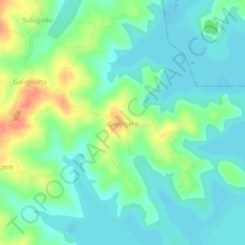
Name: Ganjigere topographic map, elevation, terrain.
Location: Ganjigere, Aluru taluk, Hassan, Karnataka, 573120, India (12.82060 75.99835 12.86060 76.03835)
Average elevation: 895 m
Minimum elevation: 879 m
Maximum elevation: 930 m
Thank you for supporting this site ❤️
Make a donation
Make a donation