
Camanga topographic map
Interactive map
Click on the map to display elevation.
About this map
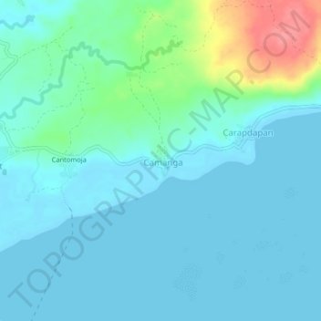
Name: Camanga topographic map, elevation, terrain.
Location: Camanga, Eastern Samar, Eastern Visayas, 6807, Philippines (11.10304 125.58369 11.14304 125.62369)
Average elevation: 14 m
Minimum elevation: 0 m
Maximum elevation: 77 m