
Thank you for supporting this site ❤️
Make a donation
Make a donation
Belen topographic map
Click on the map to display elevation.
Thank you for supporting this site ❤️
Make a donation
Make a donation
About this map
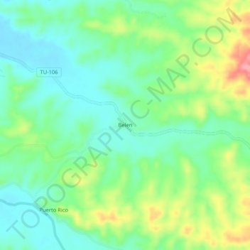
Name: Belen topographic map, elevation, terrain.
Location: Belen, Pampas de Hospital, Tumbes, Perú (-3.72589 -80.43165 -3.68589 -80.39165)
Average elevation: 58 m
Minimum elevation: 21 m
Maximum elevation: 133 m
Thank you for supporting this site ❤️
Make a donation
Make a donation