
Thank you for supporting this site ❤️
Make a donation
Make a donation
Kapkot topographic map
Click on the map to display elevation.
Thank you for supporting this site ❤️
Make a donation
Make a donation
About this map
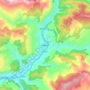
Name: Kapkot topographic map, elevation, terrain.
Location: Kapkot, Bageshwar, Uttarakhand, India (29.90785 79.86139 29.98785 79.94139)
Average elevation: 1,462 m
Minimum elevation: 988 m
Maximum elevation: 2,193 m
Thank you for supporting this site ❤️
Make a donation
Make a donation
Other topographic maps
Click on a map to view its topography, its elevation and its terrain.