
Thank you for supporting this site ❤️
Make a donation
Make a donation
Lake District topographic map
Click on the map to display elevation.
Thank you for supporting this site ❤️
Make a donation
Make a donation
About this map
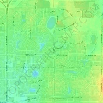
Name: Lake District topographic map, elevation, terrain.
Location: Lake District, Edmonton, Alberta, Canada (53.61401 -113.49193 53.64567 -113.44105)
Average elevation: 684 m
Minimum elevation: 671 m
Maximum elevation: 696 m
Thank you for supporting this site ❤️
Make a donation
Make a donation
Other topographic maps
Click on a map to view its topography, its elevation and its terrain.