
Općina Kaptol topographic map
Interactive map
Click on the map to display elevation.
About this map
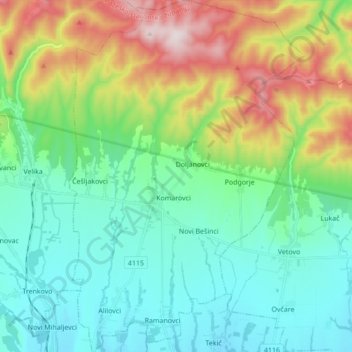
Name: Općina Kaptol topographic map, elevation, terrain.
Location: Općina Kaptol, Požega-Slavonia County, 34334, Croatia (45.38145 17.68257 45.50241 17.79821)
Average elevation: 349 m
Minimum elevation: 162 m
Maximum elevation: 829 m
Other topographic maps
Click on a map to view its topography, its elevation and its terrain.
Grad Požega
Croatia > Požega-Slavonia County
Grad Požega, Požega-Slavonia County, 34000, Croatia
Average elevation: 222 m