

Schnelldorf topographic map
Click on the map to display elevation.
About this map
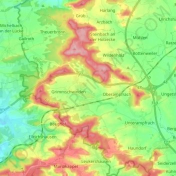
Name: Schnelldorf topographic map, elevation, terrain.
Location: Schnelldorf, Ansbach (district), Bavaria, 91625, Germany (49.15552 10.11984 49.25091 10.25295)
Average elevation: 477 m
Minimum elevation: 424 m
Maximum elevation: 555 m
Other topographic maps
Click on a map to view its topography, its elevation and its terrain.
