
The Boobs (E) topographic map
Interactive map
Click on the map to display elevation.
About this map
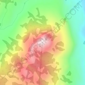
Name: The Boobs (E) topographic map, elevation, terrain.
Location: The Boobs (E), Yukón, Canadá (60.93257 -135.22238 60.93267 -135.22228)
Average elevation: 933 m
Minimum elevation: 683 m
Maximum elevation: 1,215 m
Other topographic maps
Click on a map to view its topography, its elevation and its terrain.
Beloud Post
Canadá > Yukón > Beloud Post
Beloud Post, Yukon, Unorganized, Yukón, Canadá
Average elevation: 742 m