
Furong topographic map
Interactive map
Click on the map to display elevation.
About this map
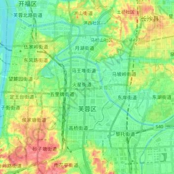
Name: Furong topographic map, elevation, terrain.
Location: Furong, Changsha, Hunan, China (28.17626 112.97048 28.22795 113.10457)
Average elevation: 46 m
Minimum elevation: 19 m
Maximum elevation: 98 m