
Eschiens topographic map
Interactive map
Click on the map to display elevation.
About this map
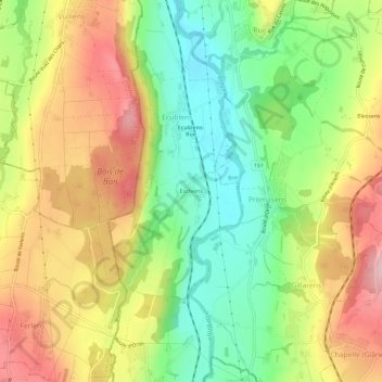
Name: Eschiens topographic map, elevation, terrain.
Location: Eschiens, Ecublens, District de la Glâne, Fribourg, 1673, Suisse (46.58297 6.79107 46.62297 6.83107)
Average elevation: 674 m
Minimum elevation: 564 m
Maximum elevation: 800 m