
Thank you for supporting this site ❤️
Make a donation
Make a donation
Buluh Kasab topographic map
Click on the map to display elevation.
Thank you for supporting this site ❤️
Make a donation
Make a donation
About this map
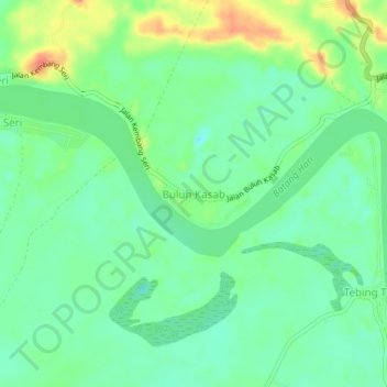
Name: Buluh Kasab topographic map, elevation, terrain.
Location: Buluh Kasab, Batanghari, Jambi, Sumatra, Indonesia (-1.66833 102.83423 -1.62833 102.87423)
Average elevation: 29 m
Minimum elevation: 10 m
Maximum elevation: 62 m
Thank you for supporting this site ❤️
Make a donation
Make a donation
Other topographic maps
Click on a map to view its topography, its elevation and its terrain.