
Thank you for supporting this site ❤️
Make a donation
Make a donation
Sampiruhan topographic map
Click on the map to display elevation.
Thank you for supporting this site ❤️
Make a donation
Make a donation
About this map
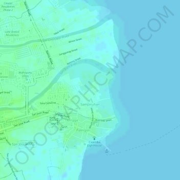
Name: Sampiruhan topographic map, elevation, terrain.
Location: Sampiruhan, Calamba, Laguna, Calabarzon, 4027, Philippines (14.21589 121.17628 14.22473 121.18925)
Average elevation: 4 m
Minimum elevation: 1 m
Maximum elevation: 10 m
Thank you for supporting this site ❤️
Make a donation
Make a donation
Other topographic maps
Click on a map to view its topography, its elevation and its terrain.