
Thank you for supporting this site ❤️
Make a donation
Make a donation
Morgan topographic map
Click on the map to display elevation.
Thank you for supporting this site ❤️
Make a donation
Make a donation
About this map
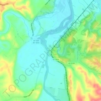
Name: Morgan topographic map, elevation, terrain.
Location: Morgan, Pendleton County, Kentucky, United States (38.58285 -84.41883 38.62285 -84.37883)
Average elevation: 204 m
Minimum elevation: 174 m
Maximum elevation: 268 m
Thank you for supporting this site ❤️
Make a donation
Make a donation
Other topographic maps
Click on a map to view its topography, its elevation and its terrain.