
Walsenburg topographic map
Click on the map to display elevation.
About this map
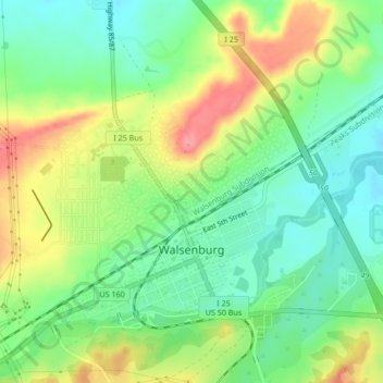
Name: Walsenburg topographic map, elevation, terrain.
Location: Walsenburg, Huerfano County, Colorado, United States (37.61474 -104.79657 37.64233 -104.75438)
Average elevation: 1,899 m
Minimum elevation: 1,861 m
Maximum elevation: 1,957 m
Other topographic maps
Click on a map to view its topography, its elevation and its terrain.