
Tohogne topographic map
Interactive map
Click on the map to display elevation.
About this map
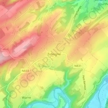
Name: Tohogne topographic map, elevation, terrain.
Location: Tohogne, Durbuy, Luxemburg, Wallonië, 6941, België (50.36104 5.46141 50.40104 5.50141)
Average elevation: 236 m
Minimum elevation: 129 m
Maximum elevation: 335 m