
Dagouret topographic map
Interactive map
Click on the map to display elevation.
About this map
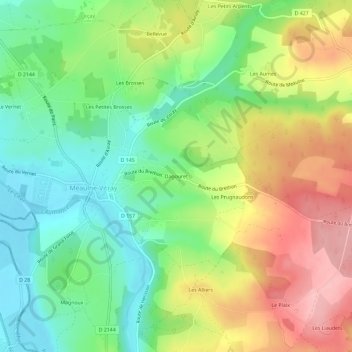
Name: Dagouret topographic map, elevation, terrain.
Average elevation: 228 m
Minimum elevation: 164 m
Maximum elevation: 315 m
Other topographic maps
Click on a map to view its topography, its elevation and its terrain.
Les Petits Arpents
France > Auvergne-Rhône-Alpes > Allier > Meaulne-Vitray
Les Petits Arpents, Vitray, Meaulne-Vitray, Montluçon, Allier, Auvergne-Rhône-Alpes, France métropolitaine, 03360, France
Average elevation: 245 m