
Thank you for supporting this site ❤️
Make a donation
Make a donation
Villagrán topographic map
Click on the map to display elevation.
Thank you for supporting this site ❤️
Make a donation
Make a donation
About this map
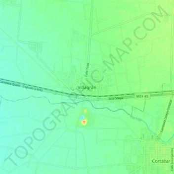
Name: Villagrán topographic map, elevation, terrain.
Location: Villagrán, Guanajuato, 38260, Mexico (20.47406 -101.03699 20.55406 -100.95699)
Average elevation: 1,734 m
Minimum elevation: 1,721 m
Maximum elevation: 1,763 m
Thank you for supporting this site ❤️
Make a donation
Make a donation