

Muztagh Ata topographic map
Click on the map to display elevation.
Muztagh Ata
Muztagh Ata (meaning 'Ice Mountain Father' in English), formerly known as Mount Tagharma and Wi-tagh, is the second highest of the mountains which form the northern edge of the Tibetan Plateau, with an elevation of 7,546 m (24,757 ft). It is sometimes regarded as being part of the Kunlun Mountains, although physically it is more closely connected to the Pamirs. It is one of the relatively easier 7,000 m peaks in the world to climb, due to its gentle western slope and the comparatively drier weather of Xinjiang, though a thorough acclimatization period and a very strong physical condition are crucial for success.
About this map
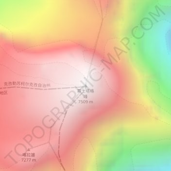
Name: Muztagh Ata topographic map, elevation, terrain.
Average elevation: 6,786 m
Minimum elevation: 5,449 m
Maximum elevation: 7,520 m
Other topographic maps
Click on a map to view its topography, its elevation and its terrain.
