
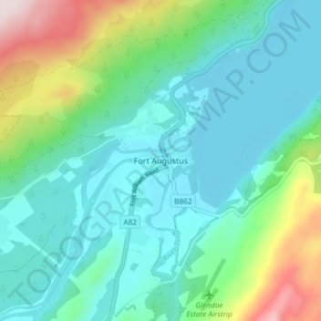
Fort Augustus topographic map
Interactive map
Click on the map to display elevation.
About this map
Name: Fort Augustus topographic map, elevation, terrain.
Location: Fort Augustus, Highland, Schotland, PH32 4AY, VK (57.12433 -4.70149 57.16433 -4.66149)
Average elevation: 115 m
Minimum elevation: 11 m
Maximum elevation: 456 m