
Bild topographic map
Interactive map
Click on the map to display elevation.
About this map
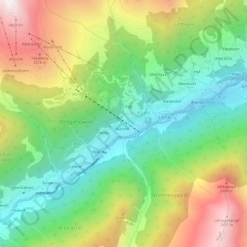
Name: Bild topographic map, elevation, terrain.
Location: Bild, Kappl, Bezirk Landeck, 6555, Autriche (47.04159 10.35064 47.08159 10.39064)
Average elevation: 1,689 m
Minimum elevation: 1,146 m
Maximum elevation: 2,537 m