
Thank you for supporting this site ❤️
Make a donation
Make a donation
Cardiff topographic map
Click on the map to display elevation.
Thank you for supporting this site ❤️
Make a donation
Make a donation
About this map
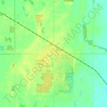
Name: Cardiff topographic map, elevation, terrain.
Location: Cardiff, Sturgeon County, Alberta, T8R 1S1, Canada (53.75465 -113.61550 53.79465 -113.57550)
Average elevation: 701 m
Minimum elevation: 691 m
Maximum elevation: 711 m
Thank you for supporting this site ❤️
Make a donation
Make a donation
Other topographic maps
Click on a map to view its topography, its elevation and its terrain.