
Obermaisbach topographic map
Interactive map
Click on the map to display elevation.
About this map
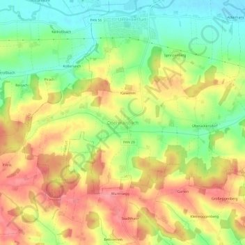
Name: Obermaisbach topographic map, elevation, terrain.
Average elevation: 459 m
Minimum elevation: 414 m
Maximum elevation: 500 m
Other topographic maps
Click on a map to view its topography, its elevation and its terrain.
Zellhub
Deutschland > Bayern > Landkreis Rottal-Inn > Eggenfelden > Prühmühle
Zellhub, Prühmühle, Eggenfelden, Landkreis Rottal-Inn, Bayern, 84307, Deutschland
Average elevation: 425 m