
Thank you for supporting this site ❤️
Make a donation
Make a donation
Escuelas topographic map
Click on the map to display elevation.
Thank you for supporting this site ❤️
Make a donation
Make a donation
About this map
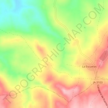
Name: Escuelas topographic map, elevation, terrain.
Location: Escuelas, Baeza, Jaén, Andalucía, España (37.86416 -3.53410 37.88416 -3.51410)
Average elevation: 502 m
Minimum elevation: 404 m
Maximum elevation: 589 m
Thank you for supporting this site ❤️
Make a donation
Make a donation