
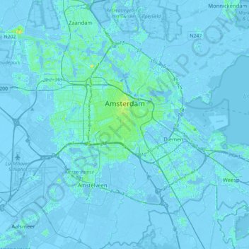
Amsterdam topographic map
Interactive map
Click on the map to display elevation.
About this map
Name: Amsterdam topographic map, elevation, terrain.
Location: Amsterdam, North Holland, Netherlands (52.27817 4.72878 52.43106 5.07916)
Average elevation: 0 m
Minimum elevation: -8 m
Maximum elevation: 18 m
Amsterdam is located in the Western Netherlands, in the province of North Holland, the capital of which is not Amsterdam, but rather Haarlem. The river Amstel ends in the city centre and connects to a large number of canals that eventually terminate in the IJ. Amsterdam's elevation is about −2 m (−6.6 ft) below sea level. The surrounding land is flat as it is formed of large polders. An artificial forest, Amsterdamse Bos, is in the southwest. Amsterdam is connected to the North Sea through the long North Sea Canal.
Other topographic maps
Click on a map to view its topography, its elevation and its terrain.
Zaanstad
Netherlands > North Holland > Zaanstad
Zaanstad, North Holland, Netherlands
Average elevation: 0 m
Gooise Meren
Netherlands > North Holland > Gooise Meren
Gooise Meren, North Holland, Netherlands
Average elevation: 0 m
Velserbroek
Netherlands > North Holland > Velsen
Velserbroek, Velsen, North Holland, Netherlands
Average elevation: 3 m
Park van Luna
Netherlands > North Holland > Heerhugowaard
Park van Luna, Stad van de Zon, Heerhugowaard, North Holland, Netherlands
Average elevation: -2 m
Heerhugowaard
Netherlands > North Holland > Heerhugowaard
Heerhugowaard, North Holland, Netherlands
Average elevation: -1 m