
Heerhugowaard topographic map
Interactive map
Click on the map to display elevation.
About this map
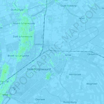
Name: Heerhugowaard topographic map, elevation, terrain.
Location: Heerhugowaard, North Holland, Netherlands (52.63268 4.78528 52.72335 4.89990)
Average elevation: -1 m
Minimum elevation: -7 m
Maximum elevation: 4 m
Dutch Topographic map of Heerhugowaard (town), March 2014.
Other topographic maps
Click on a map to view its topography, its elevation and its terrain.
Park van Luna
Netherlands > North Holland > Heerhugowaard
Park van Luna, Stad van de Zon, Heerhugowaard, North Holland, Netherlands
Average elevation: -2 m