
Bengkulu topographic map
Interactive map
Click on the map to display elevation.
About this map
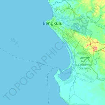
Name: Bengkulu topographic map, elevation, terrain.
Location: Bengkulu, Teluk Segara, Bengkulu, Sumatra, Indonesien (-3.98167 102.17903 -3.73952 102.37154)
Average elevation: 6 m
Minimum elevation: -2 m
Maximum elevation: 90 m