
Gerlisberg topographic map
Interactive map
Click on the map to display elevation.
About this map
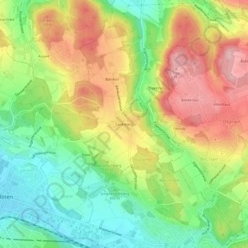
Name: Gerlisberg topographic map, elevation, terrain.
Location: Gerlisberg, Kloten, Bezirk Bülach, Zürich, 8302, Schweiz (47.44421 8.59471 47.48421 8.63471)
Average elevation: 524 m
Minimum elevation: 439 m
Maximum elevation: 624 m