
Oulens-sur-Lucens topographic map
Interactive map
Click on the map to display elevation.
About this map
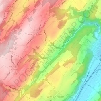
Name: Oulens-sur-Lucens topographic map, elevation, terrain.
Average elevation: 672 m
Minimum elevation: 490 m
Maximum elevation: 806 m
Other topographic maps
Click on a map to view its topography, its elevation and its terrain.
Forel-sur-Lucens
Forel-sur-Lucens, Forel, Lucens, District de la Broye-Vully, Vaud, 1526, Suisse
Average elevation: 664 m