
Illilten topographic map
Interactive map
Click on the map to display elevation.
About this map
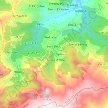
Name: Illilten topographic map, elevation, terrain.
Location: Illilten, Daïra Iferhounene, Tizi Ouzou, 15037, Algérie (36.48015 4.36509 36.54283 4.44426)
Average elevation: 1,117 m
Minimum elevation: 515 m
Maximum elevation: 1,862 m