
Thank you for supporting this site ❤️
Make a donation
Make a donation
Limiti topographic map
Click on the map to display elevation.
Thank you for supporting this site ❤️
Make a donation
Make a donation
About this map
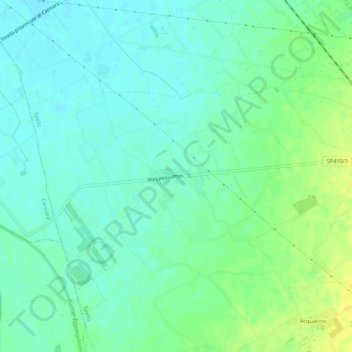
Name: Limiti topographic map, elevation, terrain.
Location: Limiti, Spello, Perugia, Umbria, 06038, Italia (42.96834 12.60426 43.00834 12.64426)
Average elevation: 193 m
Minimum elevation: 185 m
Maximum elevation: 208 m
Thank you for supporting this site ❤️
Make a donation
Make a donation