
Cheti topographic map
Interactive map
Click on the map to display elevation.
About this map
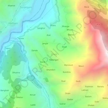
Name: Cheti topographic map, elevation, terrain.
Location: Cheti, Chaurah, Chamba, Himachal Pradesh, 176317, India (32.68853 76.08258 32.72853 76.12258)
Average elevation: 1,324 m
Minimum elevation: 796 m
Maximum elevation: 2,306 m