
Thank you for supporting this site ❤️
Make a donation
Make a donation
Indrayani river topographic map
Click on the map to display elevation.
Thank you for supporting this site ❤️
Make a donation
Make a donation
About this map
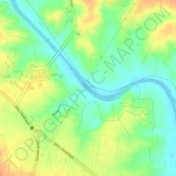
Name: Indrayani river topographic map, elevation, terrain.
Location: Indrayani river, Pimpri-Chinchwad, Haveli, Maharashtra, India (18.70135 73.79808 18.70554 73.81199)
Average elevation: 584 m
Minimum elevation: 562 m
Maximum elevation: 605 m
Thank you for supporting this site ❤️
Make a donation
Make a donation