
Thank you for supporting this site ❤️
Make a donation
Make a donation
Sant'Alberto topographic map
Click on the map to display elevation.
Thank you for supporting this site ❤️
Make a donation
Make a donation
About this map
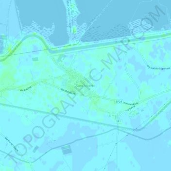
Name: Sant'Alberto topographic map, elevation, terrain.
Location: Sant'Alberto, Ravenna, Emilia-Romagna, Italia (44.51978 12.13964 44.55978 12.17964)
Average elevation: 1 m
Minimum elevation: -7 m
Maximum elevation: 8 m
Thank you for supporting this site ❤️
Make a donation
Make a donation