
Odder topographic map
Interactive map
Click on the map to display elevation.
About this map
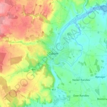
Name: Odder topographic map, elevation, terrain.
Location: Odder, Odder Kommune, Region Mitteljütland, 8300, Dänemark (55.93583 10.11132 56.01583 10.19132)
Average elevation: 38 m
Minimum elevation: -2 m
Maximum elevation: 106 m