
Eclagnens topographic map
Interactive map
Click on the map to display elevation.
About this map
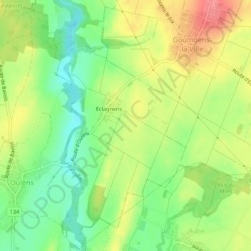
Name: Eclagnens topographic map, elevation, terrain.
Location: Eclagnens, Goumoëns, District du Gros-de-Vaud, Vaud, Suisse (46.63771 6.58305 46.66115 6.60384)
Average elevation: 596 m
Minimum elevation: 559 m
Maximum elevation: 637 m
Other topographic maps
Click on a map to view its topography, its elevation and its terrain.