
Malang topographic map
Interactive map
Click on the map to display elevation.
About this map
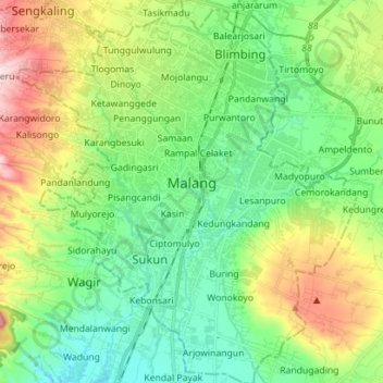
Name: Malang topographic map, elevation, terrain.
Location: Malang, Ost-Java, Indonesien (-8.05026 112.56988 -7.91088 112.69472)
Average elevation: 490 m
Minimum elevation: 375 m
Maximum elevation: 735 m
Other topographic maps
Click on a map to view its topography, its elevation and its terrain.