
Baldeo topographic map
Click on the map to display elevation.
About this map
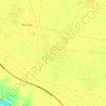
Name: Baldeo topographic map, elevation, terrain.
Location: Baldeo, Mahavan, Mathura, Uttar Pradesh, 281301, India (27.38705 77.80230 27.42705 77.84230)
Average elevation: 176 m
Minimum elevation: 156 m
Maximum elevation: 179 m
Other topographic maps
Click on a map to view its topography, its elevation and its terrain.