
Thank you for supporting this site ❤️
Make a donation
Make a donation
Sombra topographic map
Click on the map to display elevation.
Thank you for supporting this site ❤️
Make a donation
Make a donation
About this map
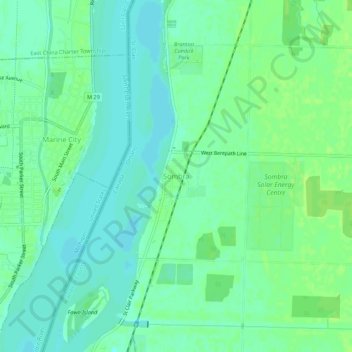
Name: Sombra topographic map, elevation, terrain.
Location: Sombra, St. Clair, Lambton County, Ontario, N0P 2H0, Canada (42.69483 -82.49645 42.73483 -82.45645)
Average elevation: 179 m
Minimum elevation: 173 m
Maximum elevation: 186 m
Thank you for supporting this site ❤️
Make a donation
Make a donation